Ranch Mapping
Map ranch assets alongside RainDrop rainfall views, rain gauges, and reference layers for clearer field decisions.
 Ranch Command
Ranch Command helps wildlife ranches, exotic ranches, hunting properties, high-fence operations, private landowners, and field personnel manage the work that happens from office to ranch road.
Ranch Command is offline-first so personnel can keep working when cell coverage drops. Field records are saved locally, queued, synced, and reviewed when the connection returns.
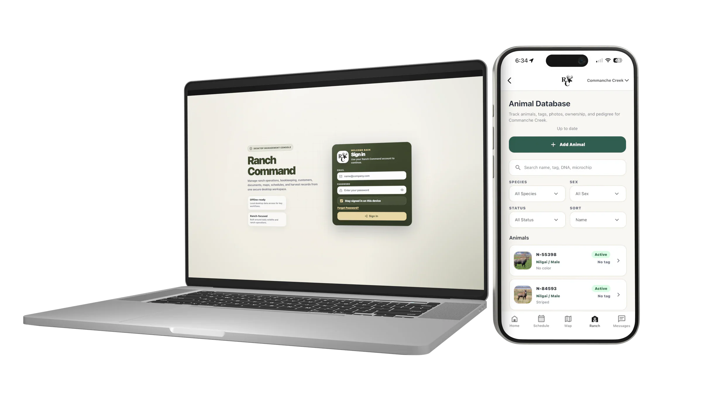
Ranch Command connects field activity, office records, wildlife management, and operational planning without forcing ranch teams into commodity agriculture software.
Map ranch assets alongside RainDrop rainfall views, rain gauges, and reference layers for clearer field decisions.
Support ground, drone, and helicopter survey workflows with mapped animal observations and reviewable summaries.
Manage weights, photos, identifiers, ownership, pen or pasture locations, movement history, and medical records.
Use a customizable dashboard, upcoming events, schedules, hunt plans, reminders, and linked medical follow-ups.
Capture observation photos, harvest records, receipts, survey activity, and operational notes from the field.
Keep ranch personnel, trusted partners, documents, bookkeeping handoff, reports, and synced records organized.


Ranch Command is focused on wildlife and exotic ranch management: survey preparation, animal records, field observations, hunt coordination, mapped assets, documents, and day-to-day visibility for the people responsible for the property.
See Platform FeaturesBeta access is reviewed manually. Tell us about your ranch, personnel, and operational needs so the team can evaluate fit.